
Projects
Amathounta Municipality
Networking
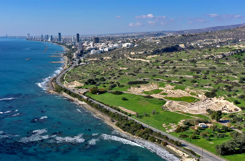
We are proud to have delivered a secure and unified network infrastructure for Amathounta Municipality, connecting its headquarters and the municipal districts into one cohesive environment. This project marked a significant transformation, consolidating the previously independent entities into a single, streamlined system. Our design placed strong emphasis on security and reliability, ensuring that sensitive data and critical services are protected while enabling seamless communication across all locations. By creating a robust and scalable foundation, we have empowered the municipality to operate more efficiently, simplify management, and prepare for future technological advancements. This achievement reflects our commitment to understanding our clients’ unique challenges and delivering solutions that add long-term value to their vision and operations.
2025
"Limnes" hospitality center
Networking
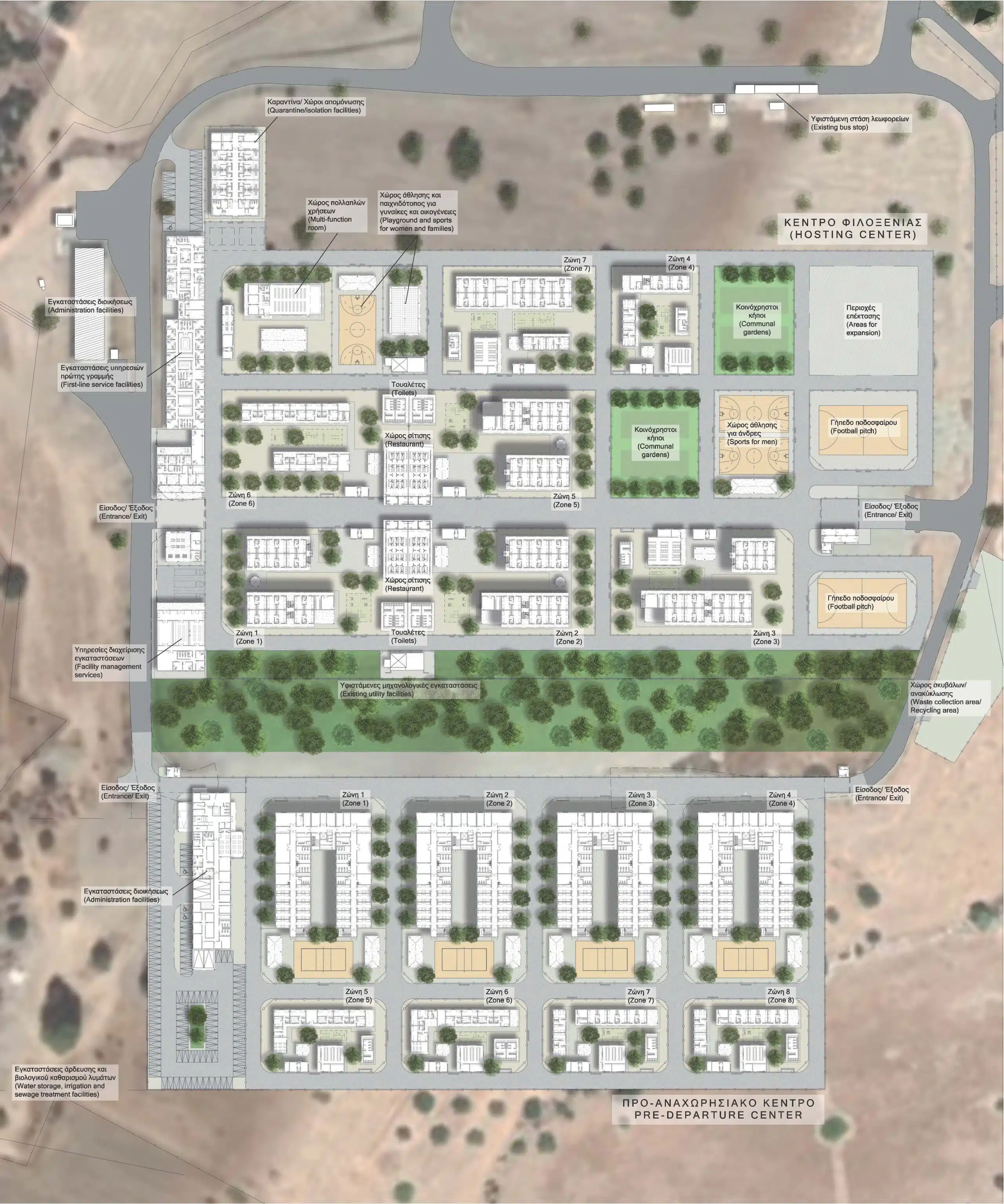
We are proud to have contributed to the Limnes project in Cyprus, delivering a reliable and high-performance network infrastructure that supports the facility’s demanding operational needs. Our solution was designed to ensure seamless connectivity, security, and scalability, providing a strong foundation for efficient communication and future growth. This project reflects our commitment to delivering tailored technology solutions that empower our clients and add long-term value to their vision.
2025
PRECiRRi
Software Development
EU Funded
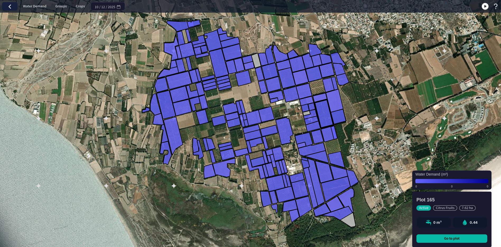
The PRECiRRi platform is an advanced precision-irrigation and agricultural-management tool that combines satellite imagery, weather forecasts, and local data to deliver actionable insights on water demand, crop health, and field performance. The application allows farmers and agricultural managers to monitor vegetation stress, optimise irrigation schedules, and plan pesticide and fertilizer usage — offering a full solution to improve crop productivity and resource efficiency without requiring on-site sensors.
Our company’s work contributed to the design and deployment of PRECiRRi under the framework of Eratosthenes Centre of Excellence (ECoE), aligned with the EU-funded EXCELSIOR H2020 Project. Through this project, we helped bring cutting-edge geospatial analytics and remote-sensing technology into real-world agriculture — supporting sustainable water management, enhancing yield, and enabling data-driven farming practices across Cyprus and the wider EMMENA region.
2025
AirQube
Software Development
EU Funded
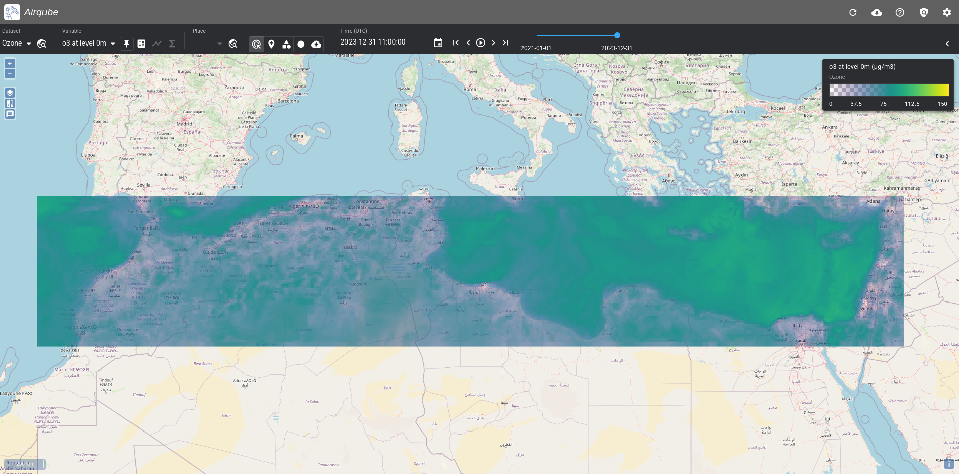
The AirQube is a national-scale atmospheric data platform that supports the Copernicus Atmosphere Monitoring Service (CAMS) National Collaboration Programme in Cyprus. The platform adapts and integrates global and European-scale CAMS products—including air quality forecasts, particulate matter and dust data, UV-radiation and aerosol maps—tailoring them for local climatic and environmental conditions.
Our company contributed to the development and deployment of AirQube in collaboration with the Eratosthenes Centre of Excellence (ECoE). We helped build the infrastructure, integrate CAMS data streams, and implement visualization tools (dashboards, time-series, maps) that make air-quality and atmospheric information accessible to institutions, decision-makers, and the public. Through AirQube, we supported efforts to translate cutting-edge atmospheric monitoring services into concrete tools for environmental management, public health, and climate policy in Cyprus.
2025
NEMESIS
Software Development
EU Funded
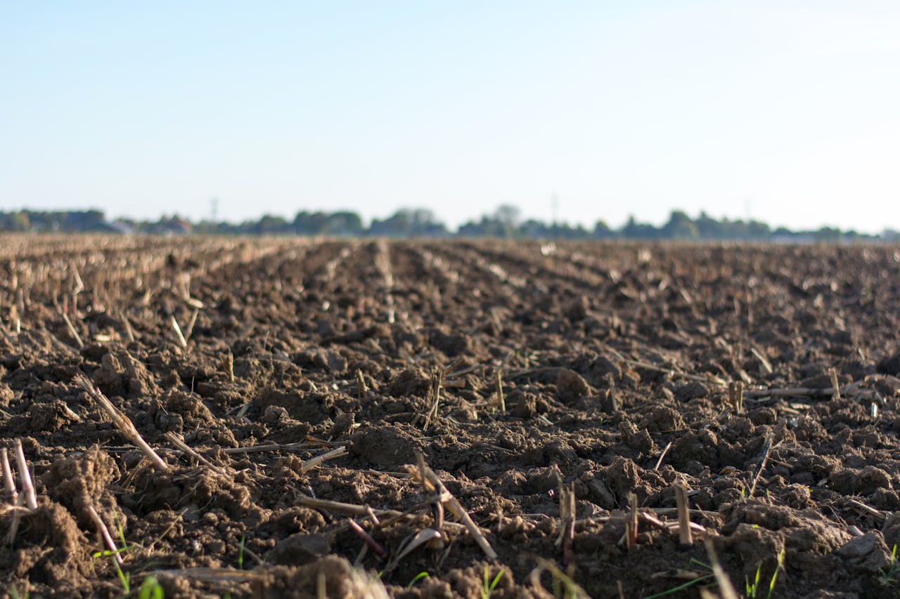
The NEMESIS project is a European research initiative focused on improving soil health and addressing land degradation in the Mediterranean region through the use of Living Labs and real-world pilot sites. The project brings together research organizations, institutions, and local stakeholders to test and scale sustainable land-management practices using data, environmental monitoring, and cross-border collaboration.
Our company supports the NEMESIS project by providing technology expertise and software-development services that enable the project’s digital infrastructure. We work closely with the research teams to design, develop, and support the digital platforms and data systems required for monitoring, analysis, collaboration, and public dissemination. Through this role, we help transform scientific research into reliable, usable digital tools that support long-term environmental sustainability.
2025

Trilogy Limassol Seafront
Networking
We are honored to have contributed to the Trilogy Limassol Seafront, an iconic landmark on the Mediterranean coast, to deliver a robust and future-ready IT network infrastructure. Our approach focused on understanding the client’s vision for seamless connectivity and operational excellence across their luxury development. By designing and implementing a solution tailored to their unique requirements, we ensured high availability, reliability, and scalability to support both current and future demands. This project highlights our dedication to empowering businesses and developments with secure, efficient, and user-friendly technology ecosystems that enhance productivity and elevate the customer experience.
2024
Pendeli Resort
Networking
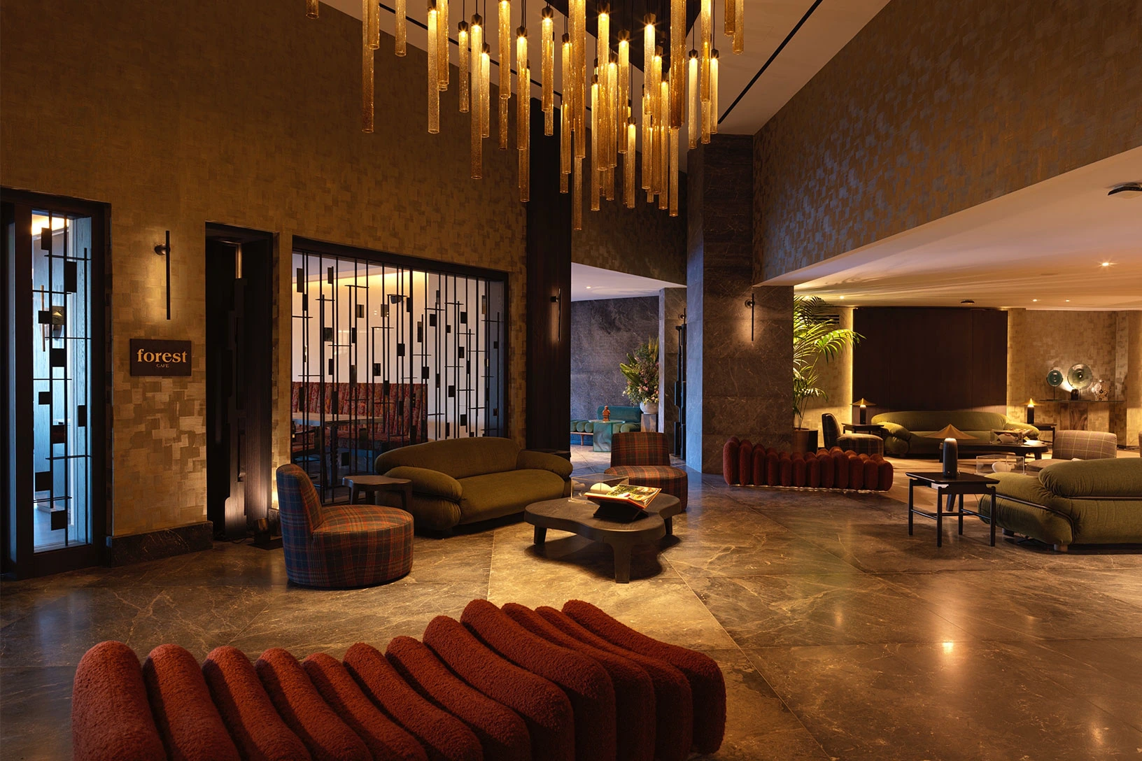
We are proud to have delivered a secure, resilient, and highperformance network infrastructure for Pendeli Resort, designed to support an exceptional guest experience across the property. Our work focused on creating seamless connectivity for operations, staff, and visitors, with robust safeguards that protect sensitive data and critical services. By building a unified, scalable foundation, we’ve helped the resort streamline daytoday management, enhance digital services, and confidently grow as guest needs evolve. This project reflects our commitment to understanding each client’s vision and delivering solutions that add enduring value.
2024
UVI-NexusHub
Software Development
EU Funded
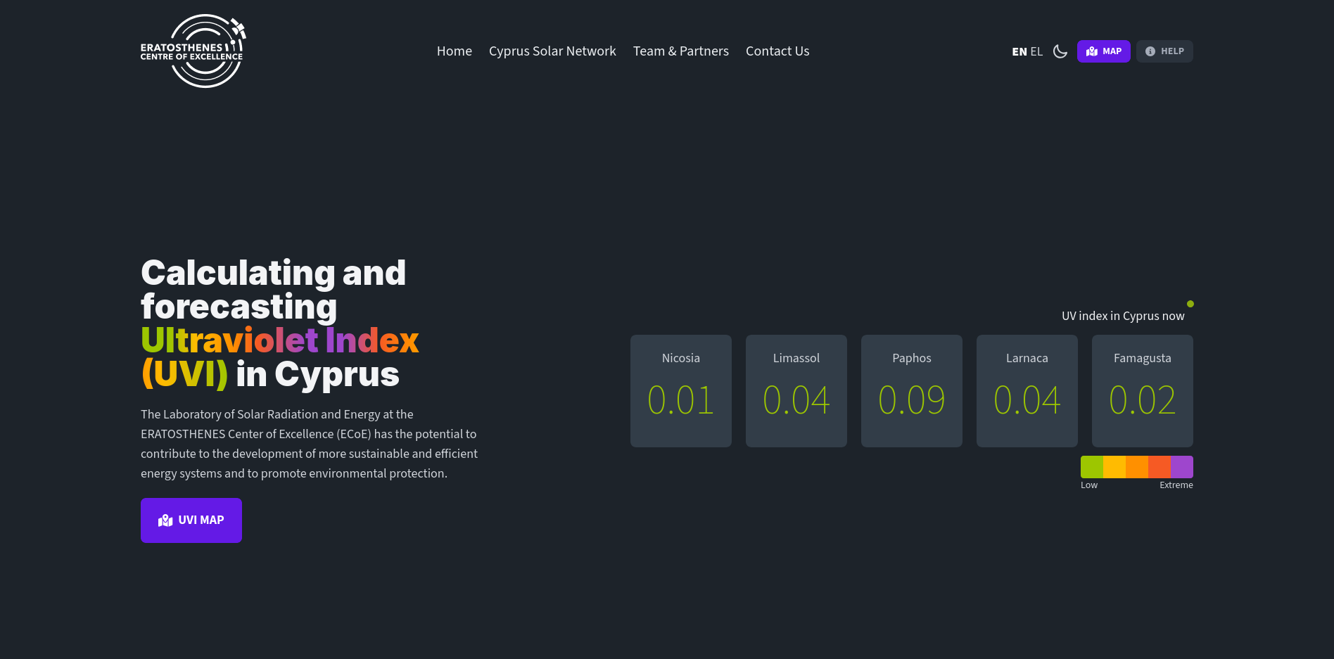
The UVI-NexusHub is a public-facing platform developed by ERATOSTHENES Centre of Excellence (ECoE) that provides real-time calculation, visualization and forecasting of the Ultraviolet Index (UVI) across Cyprus. It aggregates data from a network of ground-based measurement stations in cities such as Nicosia, Limassol, Paphos, Larnaca and Famagusta, offering up-to-date UVI maps and forecasts. Users can consult UVI levels for their region at any time, enabling them to take informed decisions about sun exposure and protect their skin and eyes — thus promoting public health and safety.
Our company contributed to the development and deployment of UVI-NexusHub, working alongside ERATOSTHENES CoE and key environmental and solar-radiation experts. We supported the design and implementation of the ICT infrastructure required for continuous data acquisition, processing and delivery, ensuring that the system provides accurate, reliable and timely UVI information to the public.
2024
Cyprus Datacube
Software Development
EU Funded
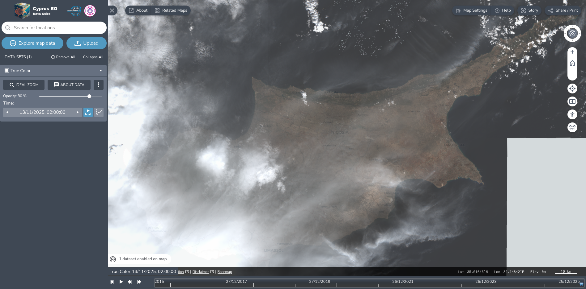
The Cyprus Data Cube is a spatial-temporal Earth Observation platform that aggregates and manages satellite data from multiple sources, enabling comprehensive environmental monitoring of Cyprus and the broader EMMENA region. By combining data from agencies such as NASA and ESA, Cyrpus Datacube provides researchers, policymakers, and stakeholders with access to standardized, high-volume remote-sensing datasets—facilitating advanced analysis of land, water, and atmospheric processes over time.
Our company contributed to the development and deployment of Cyprus Data Cube under the framework of the EU-funded EXCELSIOR H2020 project, helping to build the data infrastructure, integrate varied satellite data sources, and deliver a robust, open geospatial data service. Through this project, we supported the broader mission of the Eratosthenes Centre of Excellence to promote earth observation and environmental sustainability — offering a foundation for future science, policy, and commercial applications based on EO-derived data.
2023
Agri-NexusHub
Software Development
EU Funded
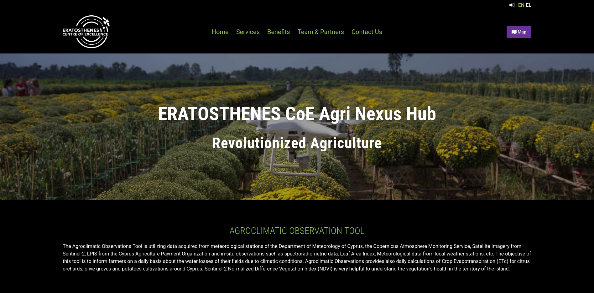
The Agri Nexus Hub is an innovative agricultural-water-management platform developed by Eratosthenes Centre of Excellence (ECoE) that provides daily estimates of water losses in agricultural fields caused by climatic conditions. By calculating reference evapotranspiration and crop evapotranspiration for farmland, the tool helps farmers and agricultural planners understand the water demands of crops, plan irrigation more accurately, and optimize water usage under Cyprus’ Mediterranean climate.
Our company supported the design and implementation of Agri Nexus Hub’s ICT and data-processing infrastructure, collaborating with ECoE’s Big Earth Data Analytics Department and the Water Research Cluster. Through this collaboration, we helped bring advanced Earth-Observation and data-analytics capabilities to agriculture — enabling data-driven irrigation management, improved water-resource planning, and more sustainable farming practices.
2023
WiFi4EU
Networking
EU Funded
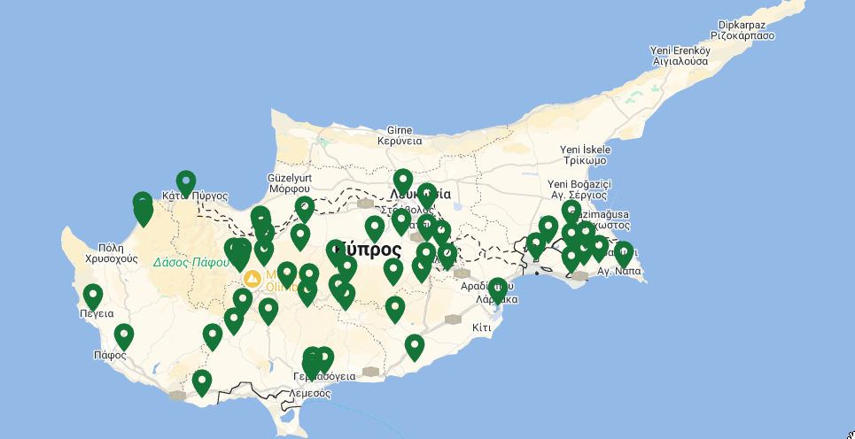
We are proud to have successfully completed 52 WiFi4EU projects across Cyprus, bringing free, high-quality internet access to public spaces and communities. This initiative plays a vital role in promoting digital inclusion and connectivity for residents and visitors alike. Our team worked diligently to ensure reliable coverage, secure infrastructure, and seamless user experience in every location. These projects reflect our commitment to supporting municipalities and organizations in creating smarter, more connected environments that enhance everyday life and foster innovation.
2018